


SURVEY AND CONSTRUCTION
Ultra-rugged handhelds and tablets for surveying, land and construction mapping in any terrain.
Explore Survey and Construction solutions Contact Us
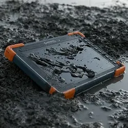
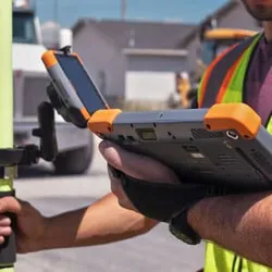
Ultra-Rugged
Devices built to withstand dust, water, drops, and harsh elements.
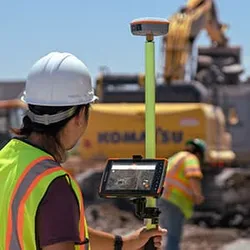
Precise GPS & GNSS
High-accuracy positioning with Geode and GNSS receivers.
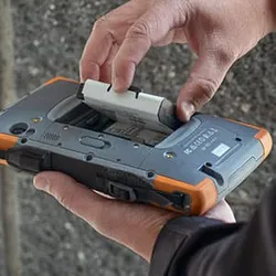
Long Battery Life
Stay powered through long field days with field-swappable batteries.
Sunlight-Readable
Bright screens you can see clearly, even under direct sun.
SURVEY AND CONSTRUCTION APPLICATIONS
Land Survey
Map property lines, elevation, and boundaries with rugged handhelds in any terrain.
Construction Survey
Stake reference points, map project sites, and monitor construction progress in rugged conditions.
Forensic Mapping
Preserve scene details with GPS, cameras, and mapping tools.
GIS Data Collection
Capture precise geo-tagged data in the field using GPS, cameras, and handheld tablets.
Project Management
Use rugged handhelds to coordinate crews, log tasks, and share progress from remote sites.
Inspection Tools
Use devices with built-in GPS, cameras, and durability for inspections in challenging environments.
MAPPING BUNDLES
BUILD YOUR BUNDLE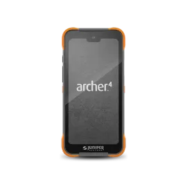
 +
+ +
+
Handheld
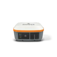
Receiver
Software
Interested in our solutions? Contact us today!

HAVE QUESTIONS?
Ready to learn more about Juniper products? Reach out to us and we will help you find the right device for your use case.
CONTACT US