

ENVIRONMENTAL
Environmental mapping with Juniper Systems makes data collection, management, and maintenance simple.
Not sure where to start? Schedule a call with our team. Contact Us
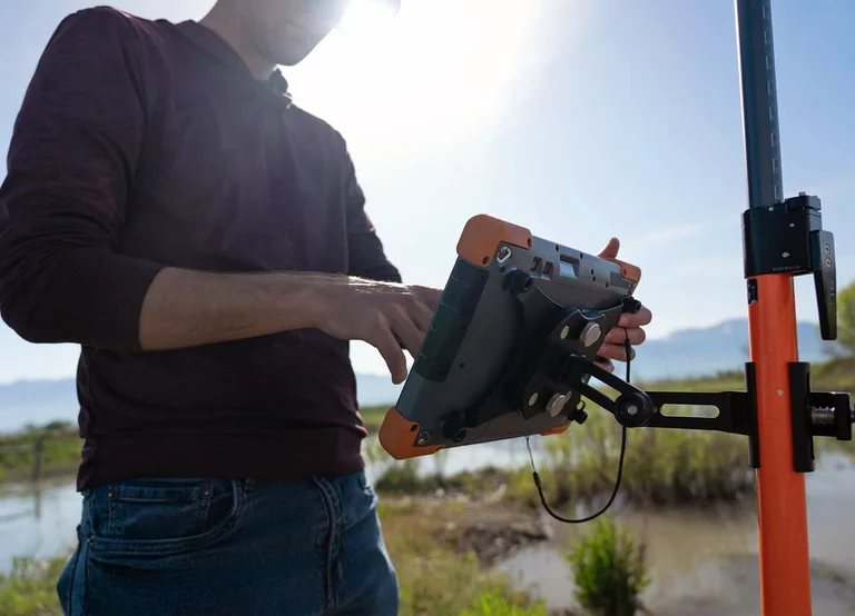
Accuracy
Our GNSS range lets you choose the accuracy you need.
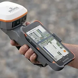
Compatibility
Works with Windows, Android, iPad, and iPhone.
It Just Works
From our GNSS receivers' one-touch operation to Uinta's intuitive functions, you can start mapping quickly.

Industry-Leading Support
We provide live support from our headquarters, so we can get your equipment back up sooner.
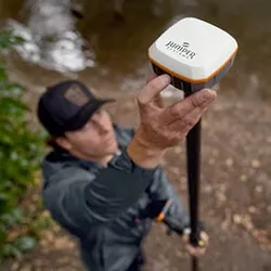
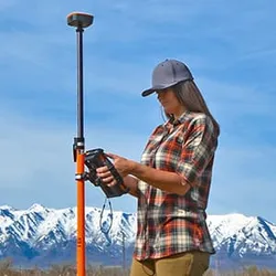
ENVIRONMENTAL APPLICATIONS
Natural Resources
Managing natural resources requires precise data to monitor forests, marine life, and more.
Conservation
Location data plays a key role in land and species tracking and conservation.
Renewable Energy
Plan wind and solar farms while understanding environmental impact.
Wetland Preservation
Use mapping solutions to delineate and protect wetlands.
Urban & Regional Planning
Accurate early planning ensures lower environmental impact.
Agriculture
Irrigation planning and crop management create efficient and sustainable farms.
MAPPING BUNDLES
BUILD YOUR BUNDLE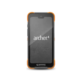
 +
+ +
+
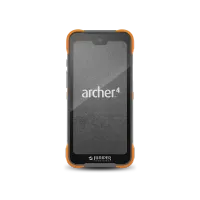
Handheld
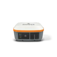
Receiver
Software
Interested in our solutions? Contact us today!
HAVE QUESTIONS?
Ready to learn more about Juniper products? Reach out to us and we will help you find the right device for your use case.
CONTACT US